An Unparalleled Construction Project
Not only is it the largest earthworks project in Bickhardt Bau AG‘s 45-year history, right now it‘s also Europe‘s most extensive.
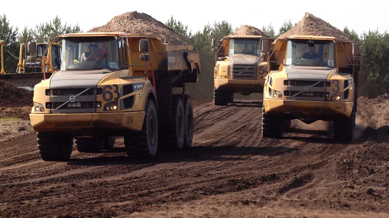
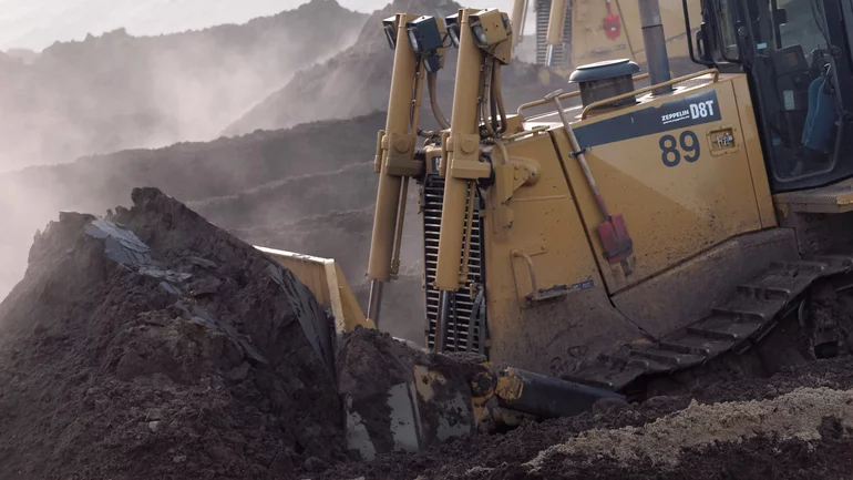
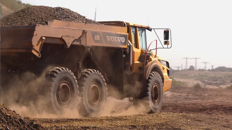
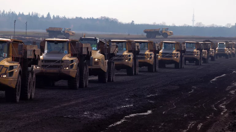
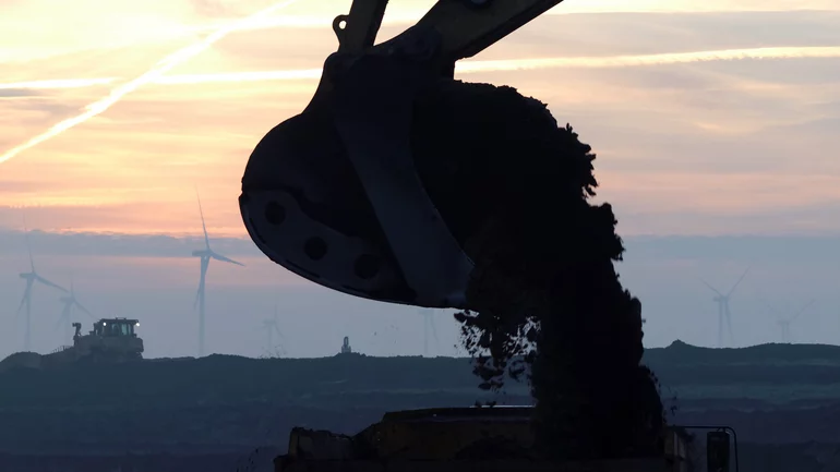

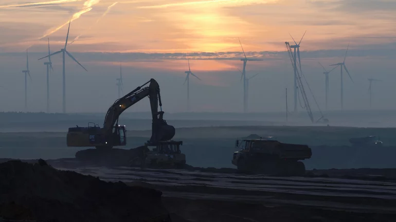
In order to repurpose the land at LEAG‘s former open-cast lignite mine in the Lausitz region 15kms north of Cottbus, a gargantuan 17 million cubic meters of soil must be shifted. This would be enough to fill the Hamburg Reeperbahn (930m x 65m) up to 230m high. It could also fill the massive Pyramid at Cheops 6½ times. And this is only one of five huge construction sites currently commissioned by Lausitz Energie Bergbau AG (LEAG), in which the decommissioned Cottbus-Nord lignite mines are to be remodelled to become the Lower Lusatia Lake District. This showcase project, marked by good planning, preparation and project steering, will allow LEAG to quickly and competently meet its obligations towards land rehabilitation of former mines. With an area of 19 square kilometres, this body of water will in time become the largest man-made lake in Germany.
Logistics at its best
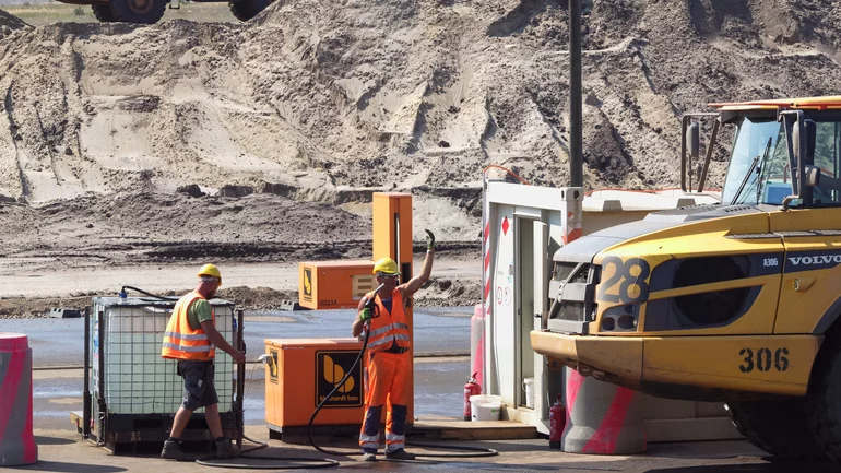
Moving 17m cubic meters of earth within the decidedly ambitious schedule of ca. two years stipulated by LEAG requires meticulously planned construction site logistics. On the one hand you have the machines: approx. 150 large excavators, bulldozers, graders and dumpers, which loosen and load the earth at one point, transport it, then fill it at another. At their peak, the construction team can shift 100,000m3 in just one day. And on the other hand, you have the approx. 2,000ha site‘s infrastructure: over ten kilometres of site roads were laid down at the start of construction.
They lead from the cut sectors to the former exit of the coal lines, which are now being filled in. There is a difference of max. 40m in elevation to be levelled out and enough material must be deposited to form a bank above the future lake‘s water level. This means excavating approx. 700ha. In order to work equally well in bad weather, the site roads were sealed with 16,000t of cement, while the most heavily frequented were tarmacked.
Using comprehensive, engineering-grade software
Naturally, the surveying on such a gigantic project can only be achieved with high-performance software, to guarantee that the client‘s plans will be implemented accurately. To start with, we used card_1 to import the client‘s various planning data, designed the site roads using the cross-section development tool, then generated all the relevant data, e.g. setting-out data. The resultant DTMs formed the basis for the machine steering systems.
The DTM for the excavation area, once imported and checked, was split into pre-arranged sectors and transmitted to the machines as a digital model. Each set of data for backfilling the coal lines could also be imported, checked and exported as machine steering data. All the site roads and areas were constructed using machine steering systems. The dumper loads were counted for the interim quantity calculation.
Aerial Inspections
To monitor these volumes, we sent up UAVs in December last year and again in April this year. For this we hired ConTech to fly its drones over the area using the MAVinciSirius System. The results of these aerial surveys were point clouds and geo-referenced orthophotos. Both the point clouds and orthophotos could easily be imported into card_1 and then processed. The point clouds were evaluated in a 1-m-raster, from which the resulting digital terrain model provided the basis for calculating volumes (intersecting DTMs). In addition, layout plans could be exported with the orthophotos, the individual excavation sections and the background designs.
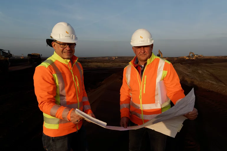
Germany’s biggest lake
Besides our surveying department employees‘ expertise, it was and is the use of the high-performance software card_1 which made it possible to manage and process the surveying data and calculations of such a massive undertaking effectively. Once construction is finished, slated for late 2018, Germany‘s biggest man-made lake will be flooded: 280m cubic meters of water will flow into the 19-square-meter area over a period of five years. It will have a 25km-long bank divided into various zones: sport and leisure, relaxation and nature reserve. The region of Lausitz will have gained an excellent attraction.

